Log in
All resources
Create a design
33,112 Free Images of Lithographed Maps
maps in the library of congress
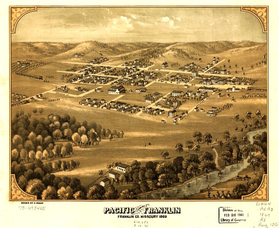
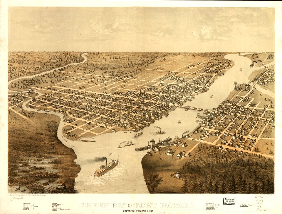
albert ruger
1868 maps
old maps of michigan
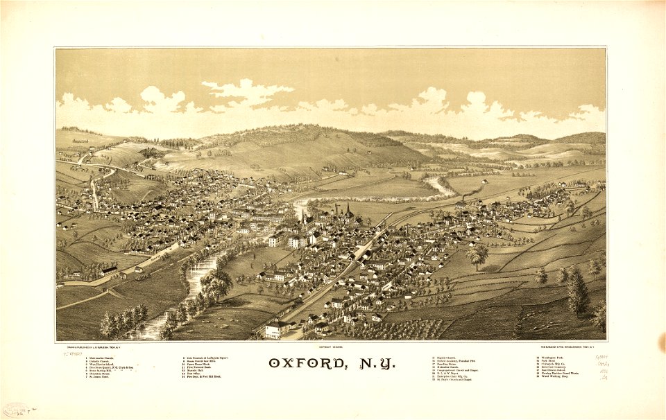
town maps by l. r. burleigh
maps by joseph hutchins colton
charts and maps of the royal museums greenwich
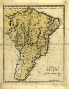
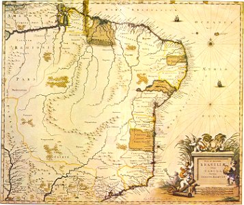
19th-century maps of brazil
1810s maps of south america
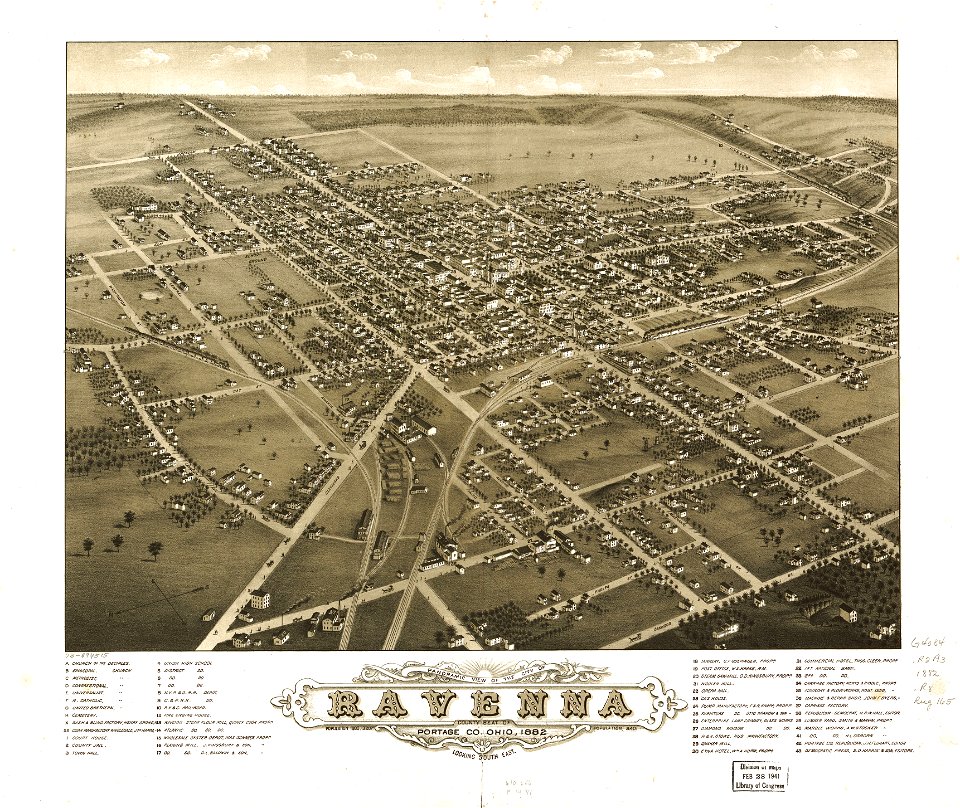
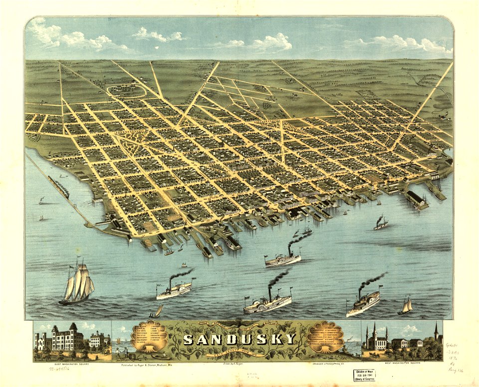
ohio
maps in the library of congress
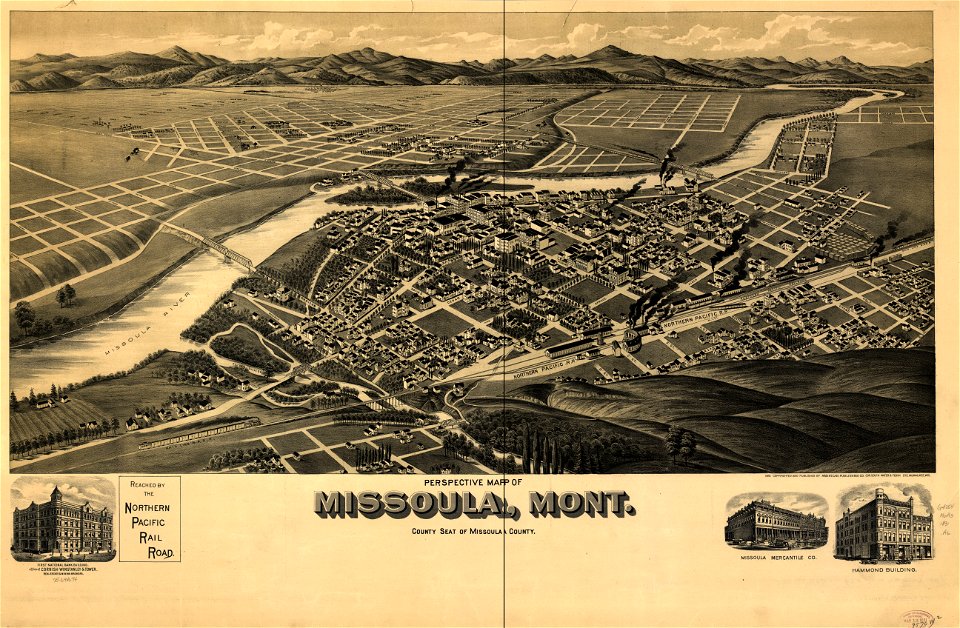
old maps of montana
maps in the library of congress
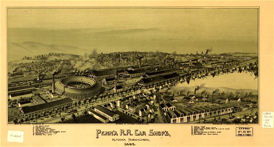
old maps of pennsylvania
maps in the library of congress
old maps of montana
maps in the library of congress
albert ruger
maps in the library of congress
albert ruger
maps in the library of congress
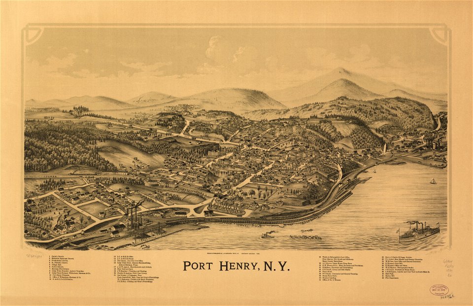
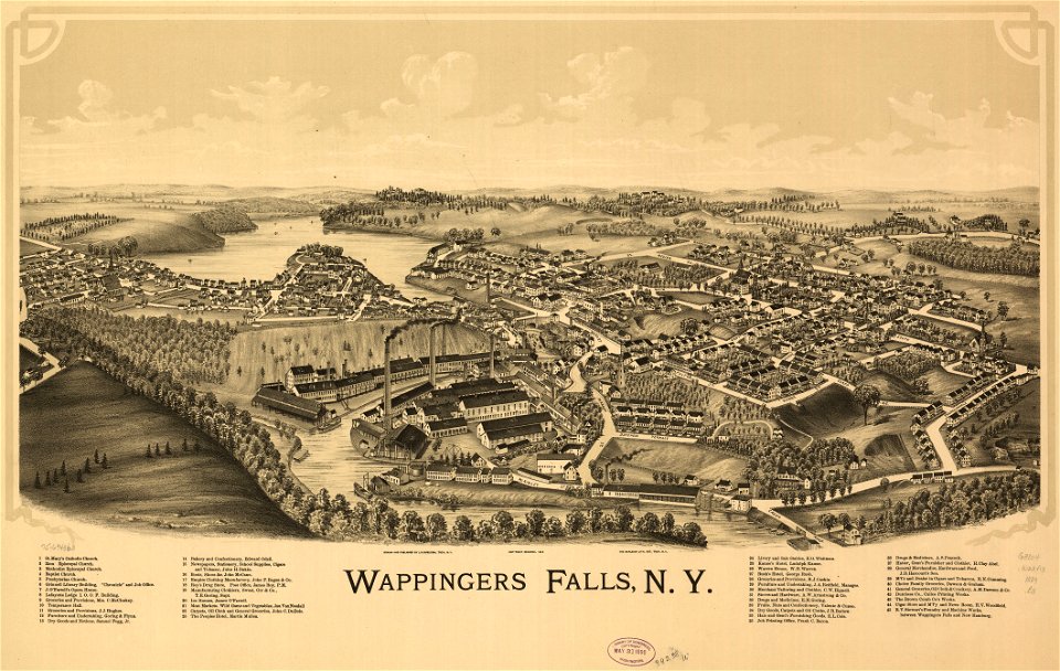
old maps of new york (state)
maps by thomas jefferys
old maps of florida
maps in the library of congress
1867 maps
maps in the library of congress
albert ruger
maps in the library of congress
albert ruger
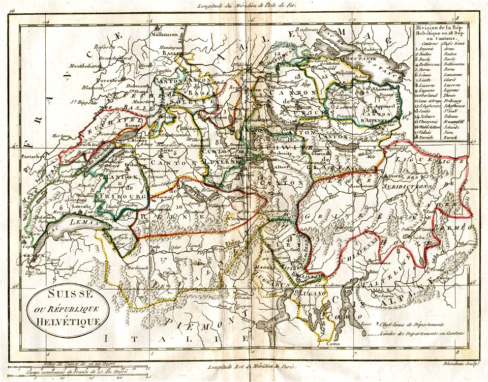
old maps of switzerland
1798 in switzerland
charts and maps of the royal museums greenwich
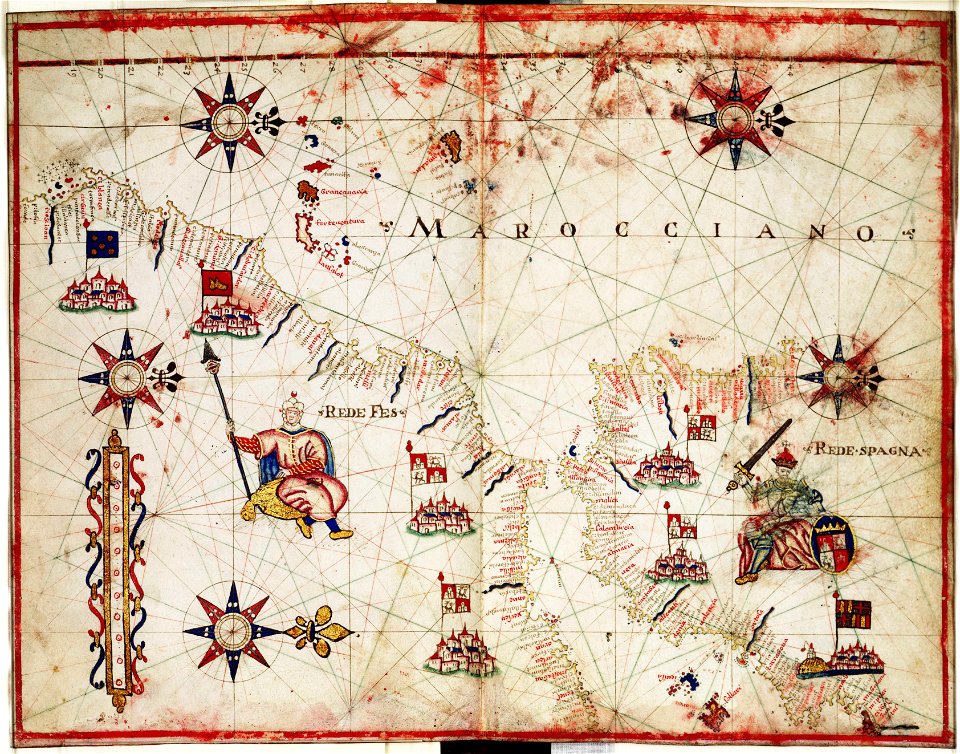
maps by oliva family
maps in the library of congress
albert ruger
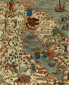
1510s maps of the world
coats of arms on maps
maps in the library of congress
1889 maps
maps in the library of congress
1889 maps
charts and maps of the royal museums greenwich
maps by oliva family
maps in the library of congress
albert ruger
maps in the library of congress
1867 maps
isolario di benedetto bordone (1547)
maps by benedetto bordon
maps in the library of congress
town maps by l. r. burleigh
old maps of thailand
old maps of vietnam
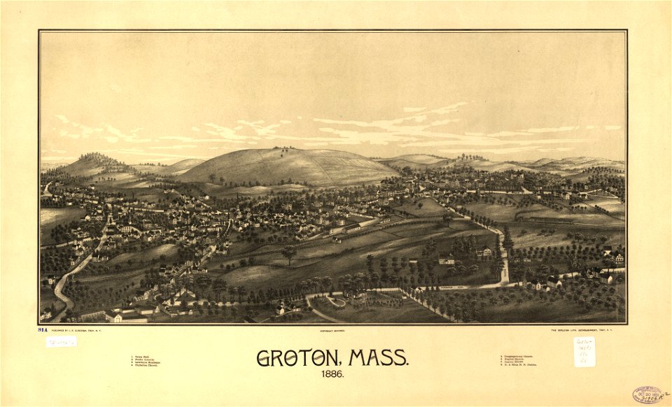
old maps of massachusetts
martha's vineyard
old maps of massachusetts
martha's vineyard
ships on maps
spain
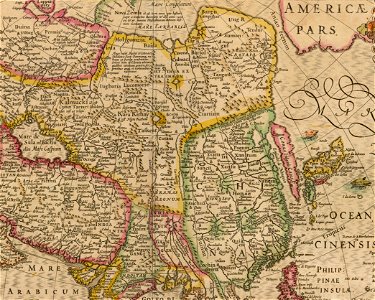
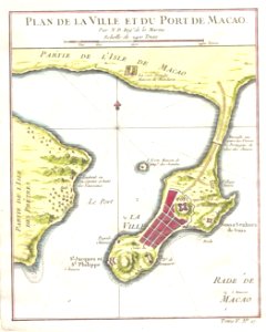
17th-century maps of china
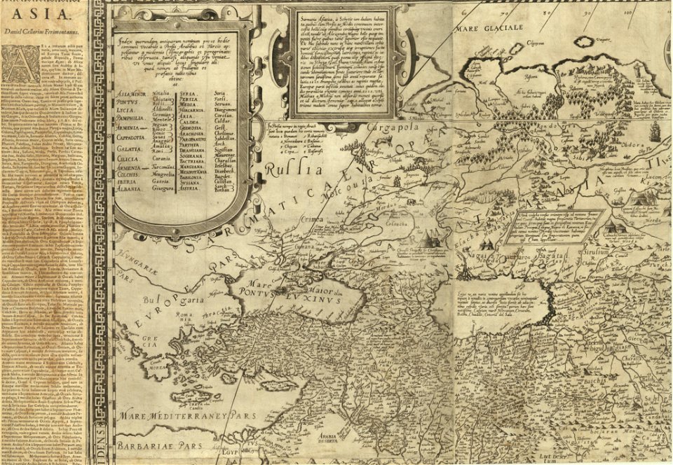
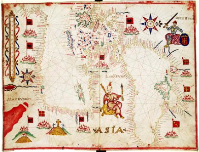
old maps of asia
administrative history of france
latin-language maps
maps of ancient persia
karl spruner von merz
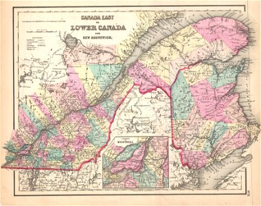
old maps of the saint lawrence river
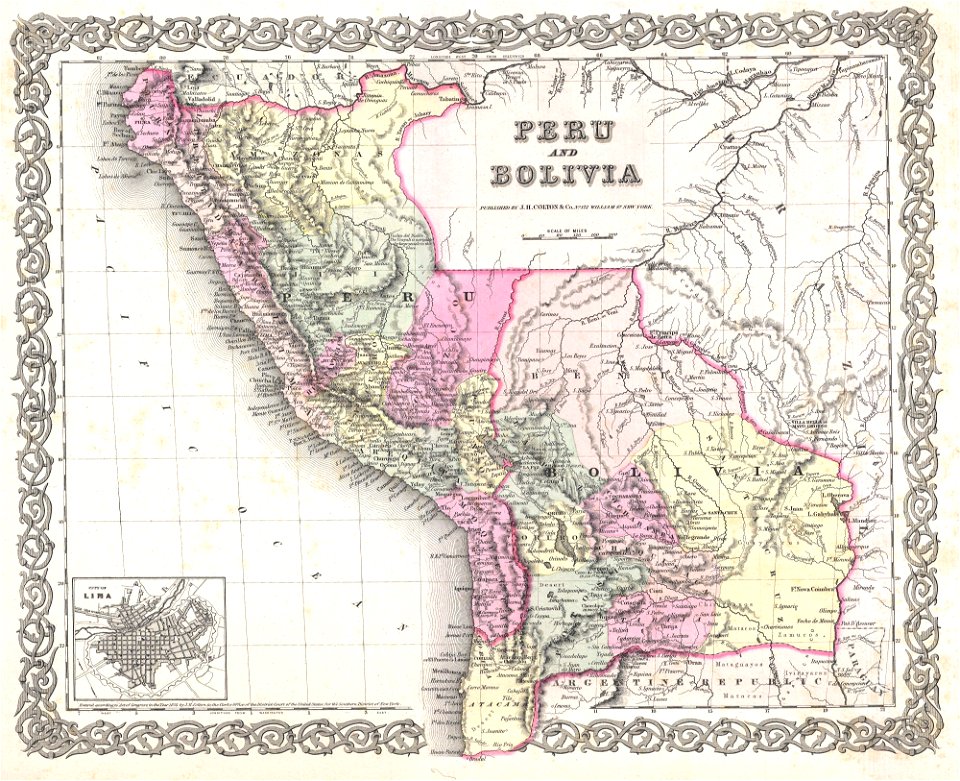
maps by joseph hutchins colton
old maps of peru
1855 maps
old maps of charleston
south carolina
old maps of the saint lawrence river
maps by joseph hutchins colton
maps in the library of congress
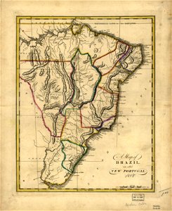
19th-century maps of brazil
maps in the library of congress
19th-century maps of brazil
maps in the library of congress
19th-century maps of brazil
maps in the library of congress
19th-century maps of brazil
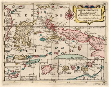
18th-century maps of indonesia
1705
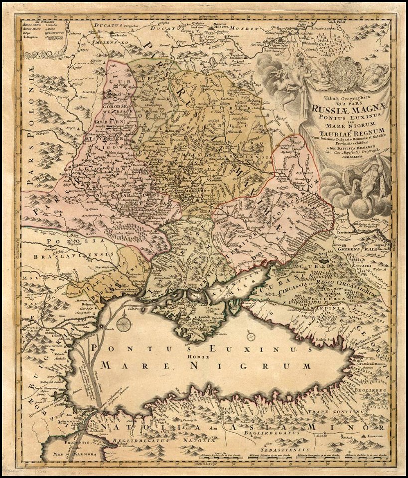
old maps of the tsardom of russia
old maps of the middle east
maps by jacques-nicolas bellin
french-language maps of china
maps in the library of congress
1639 maps
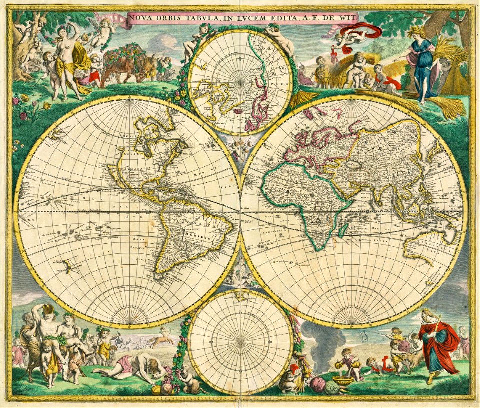
atlas de wit 1698
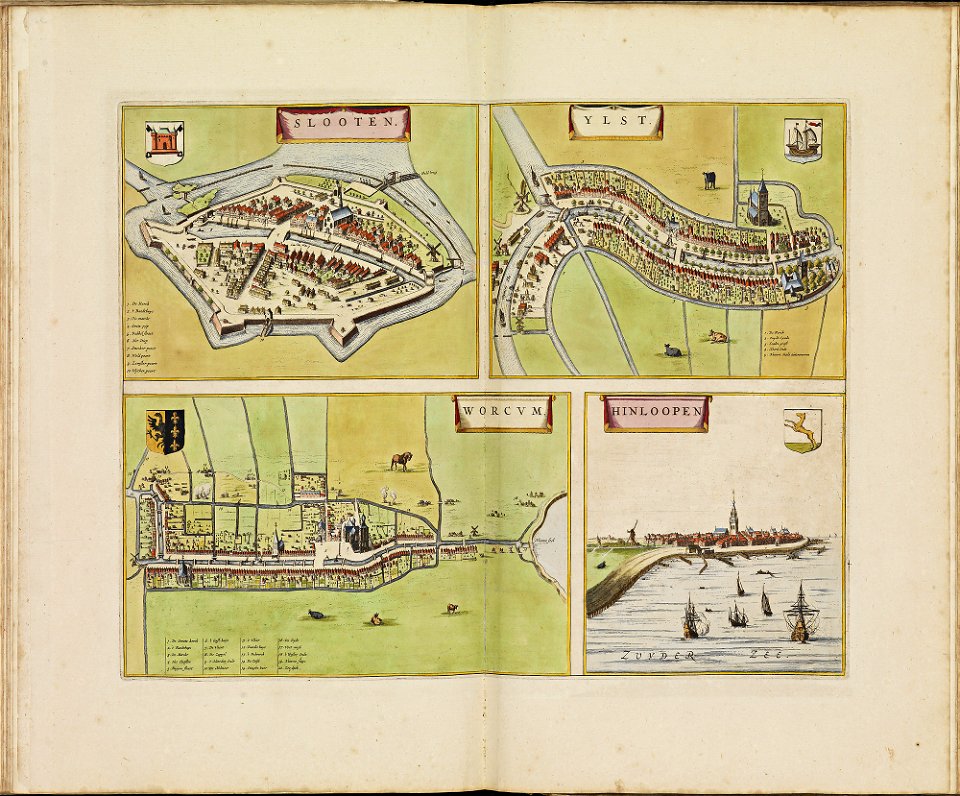
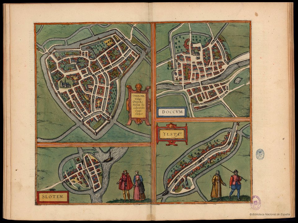
friesland
copper engraving
friesland
maps in the library of congress
massachusetts
maps in the library of congress
massachusetts
johann baptist homann
latin-language maps
johann baptist homann
latin-language maps
maps made in the 17th century
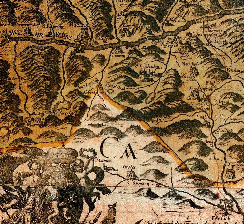
old maps of styria
massachusetts
o. h. bailey
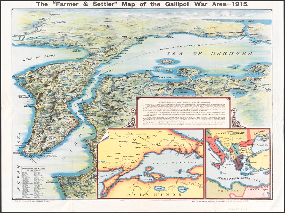
maps in the national library of australia
maps of the sea of marmara
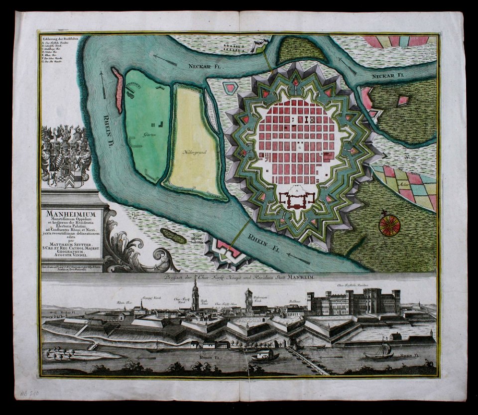
festung mannheim
maps of mannheim
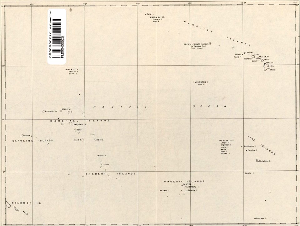
old maps of the pacific ocean
old maps of hawaii
english-language maps
1752
maps by george h. walker and company
maps in the library of congress
double hemisphere world maps
maps by frederick de wit
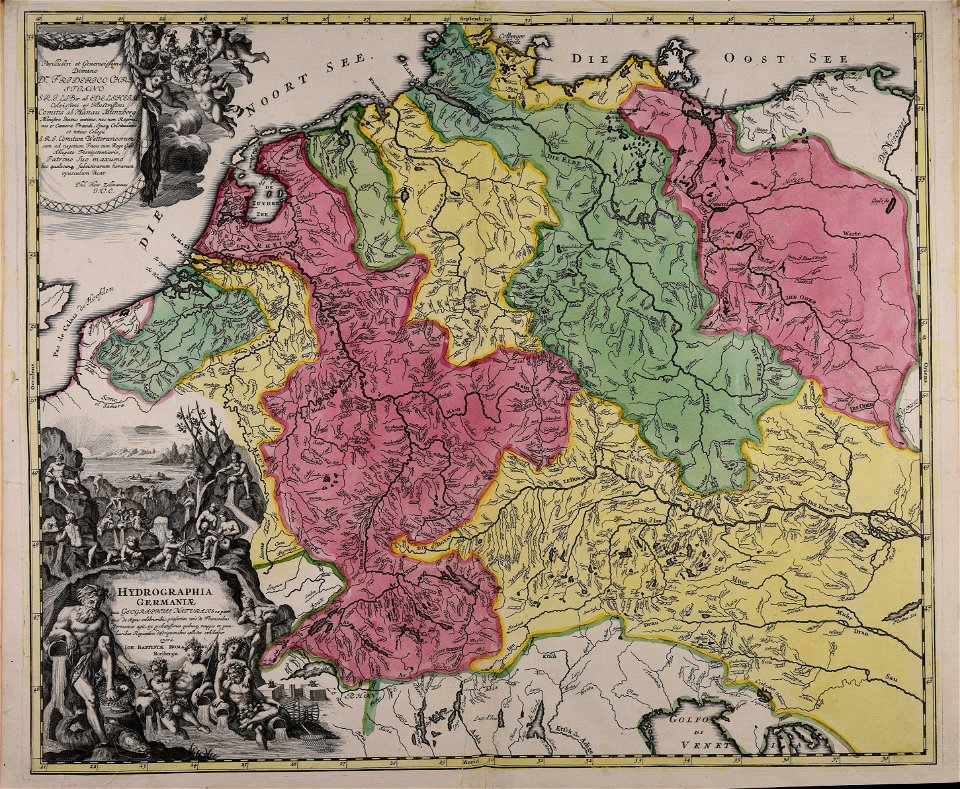
coat of arms of germany
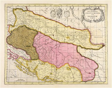
1642 maps of croatia
16th-century maps of the mediterranean sea
16th-century maps of the black sea
maps of the republic of novgorod
1539 maps of russia
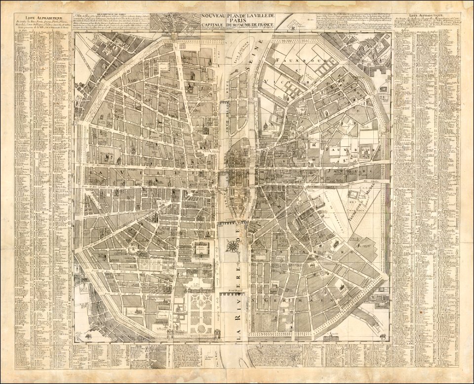
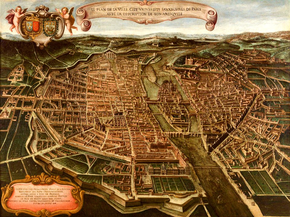
maps of paris from the barry lawrence ruderman antique maps inc.
1690s maps of paris
maps of paris from the barry lawrence ruderman antique maps inc.
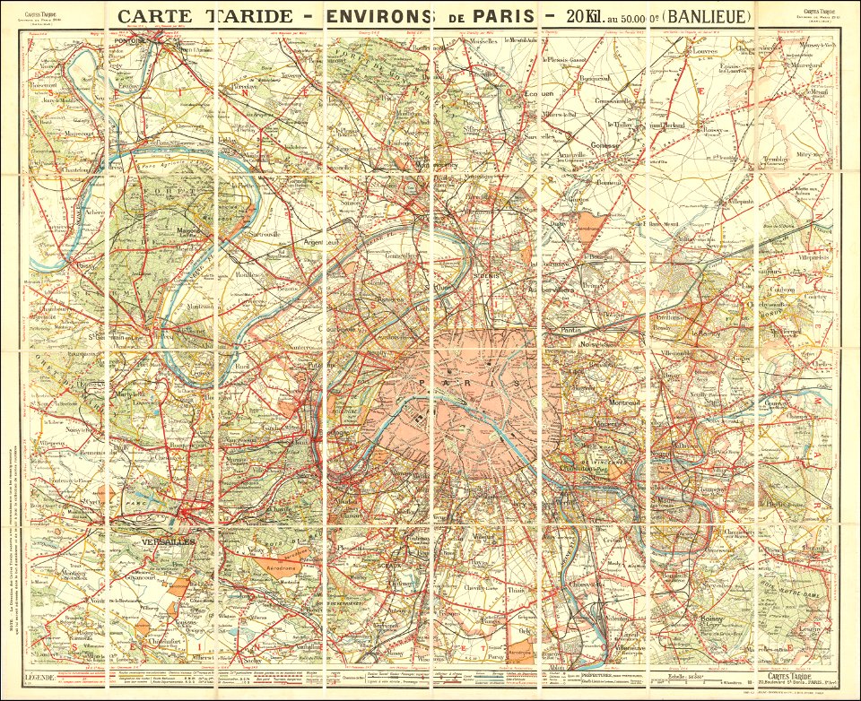
maps of paris in the 1920s
english-language maps
1814 maps
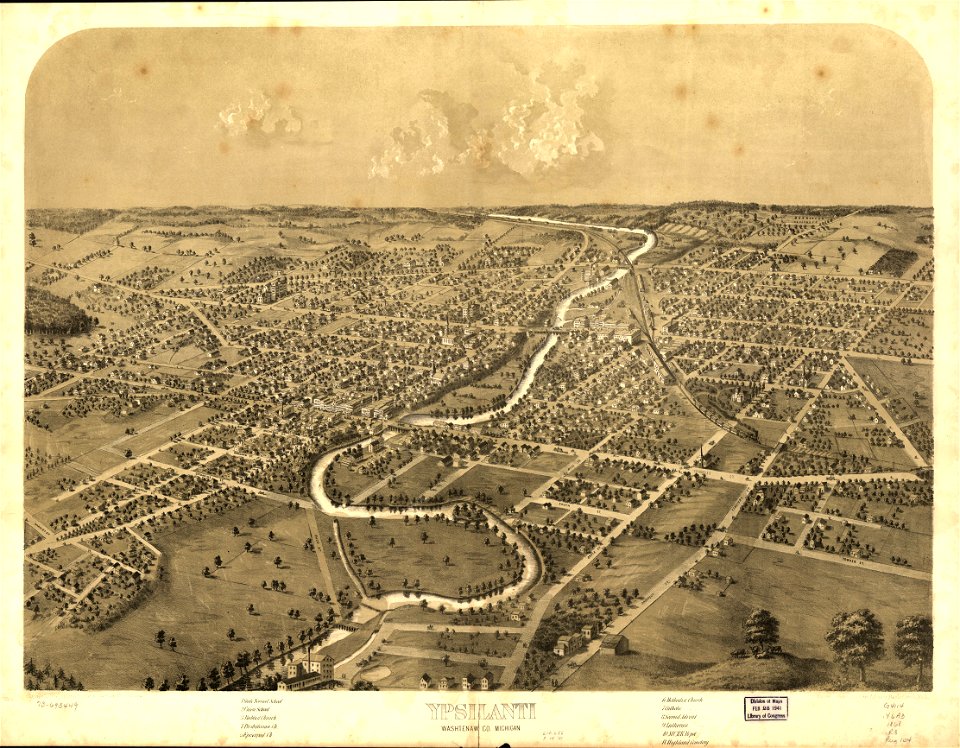
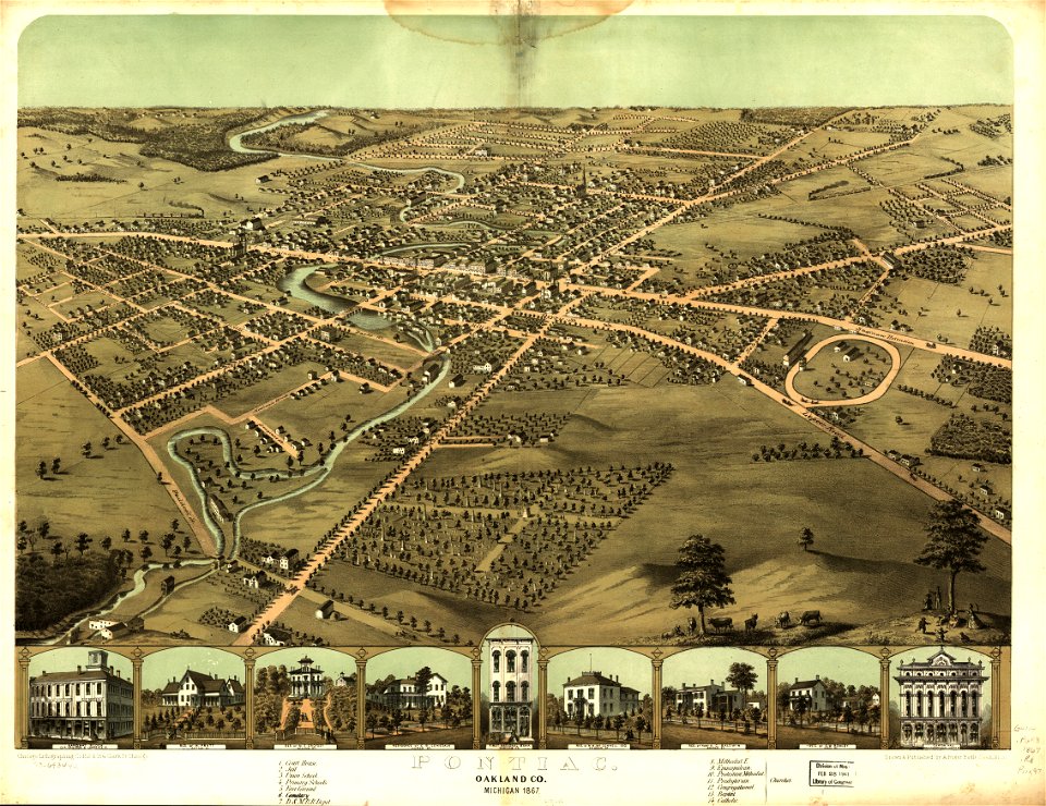
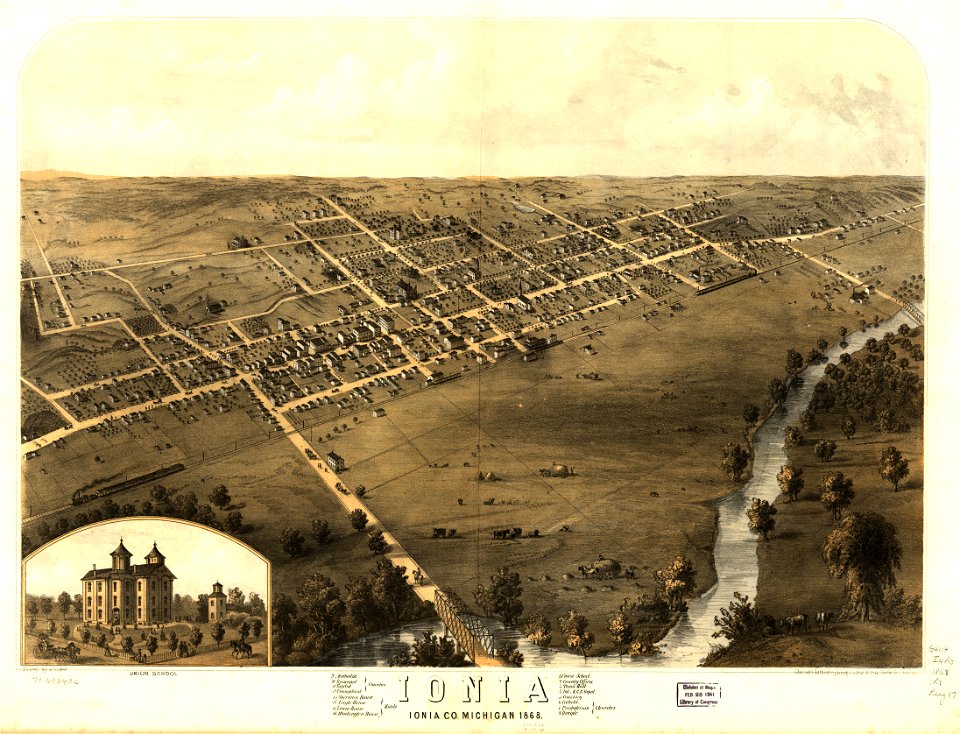
michigan
ionia
michigan
ionia
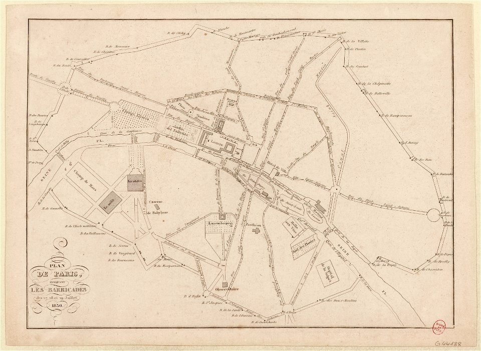
french revolution of 1830
1830s maps of paris
maps in the library of congress
ohio
maps in the library of congress
ohio
maps by willem and johannes blaeu
1640 maps
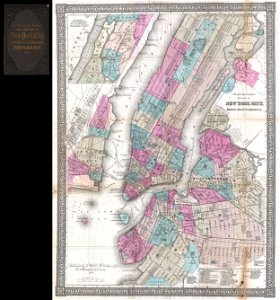
new york city
1867 maps
maps of the sea of marmara
colossus of rhodes
18th-century maps of italy
frederick de wit
old maps of the british isles
old maps of scandinavia
maps of paris in the 16th century
16th-century maps of paris
maps of paris from paris musées
paintings in musée carnavalet
maps made in the 18th century
johann baptist homann
maps of paris from paris musées
paintings in musée carnavalet
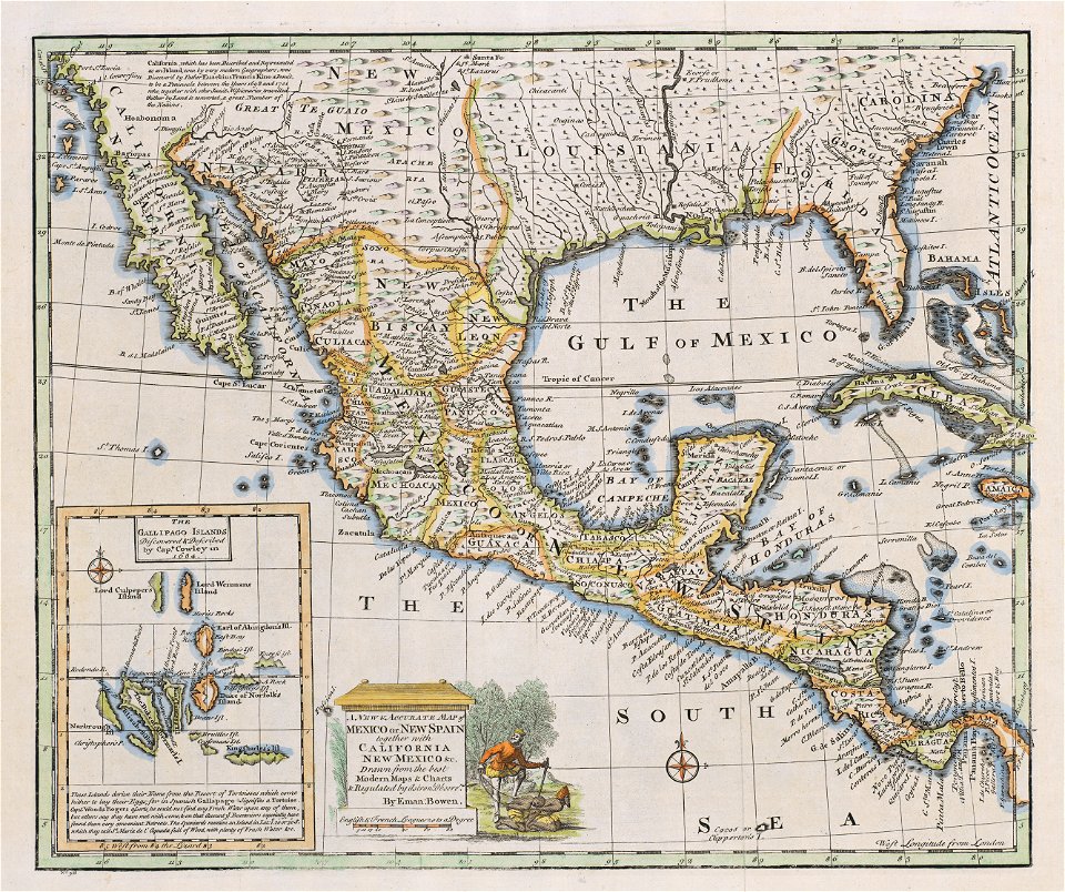
1747 persia map by emanuel bowen
maps in the library of congress
old maps of guatemala
old maps of colombia
maps of the mariana islands
guam in the 18th century
old maps of bosnia and herzegovina
gerard valck
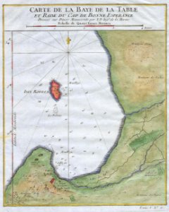
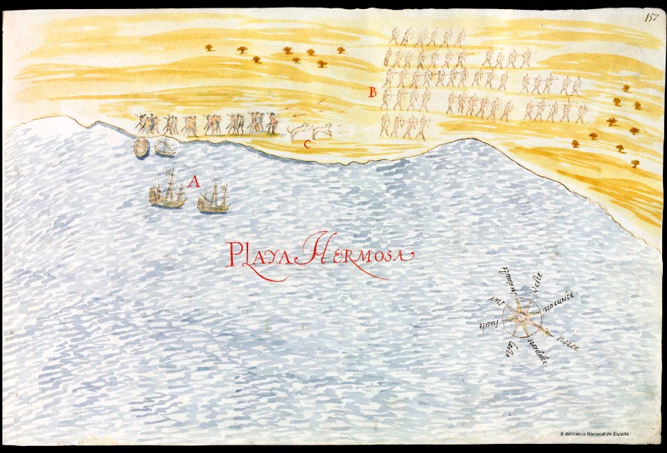
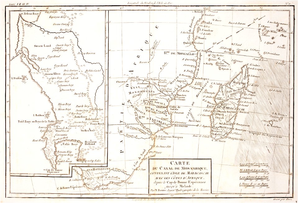
old maps of south africa
table bay
old maps of mexico
pictorial maps
prints from bonne atlas de toutes les parties at the peace palace library
maps of the comoros
harvard university
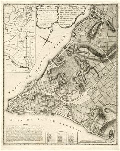
map of manhattan
koninklijk nederlands aardrijkskundig genootschap
map collection frederik muller & co
koninklijk nederlands aardrijkskundig genootschap
map collection frederik muller & co
details of 1830 vienna map series by carl graf vasquez
palais rasumofsky
koninklijk nederlands aardrijkskundig genootschap
map collection frederik muller & co
koninklijk nederlands aardrijkskundig genootschap
map collection frederik muller & co
history of bad schwalbach
1828
coats of arms on maps
guelder
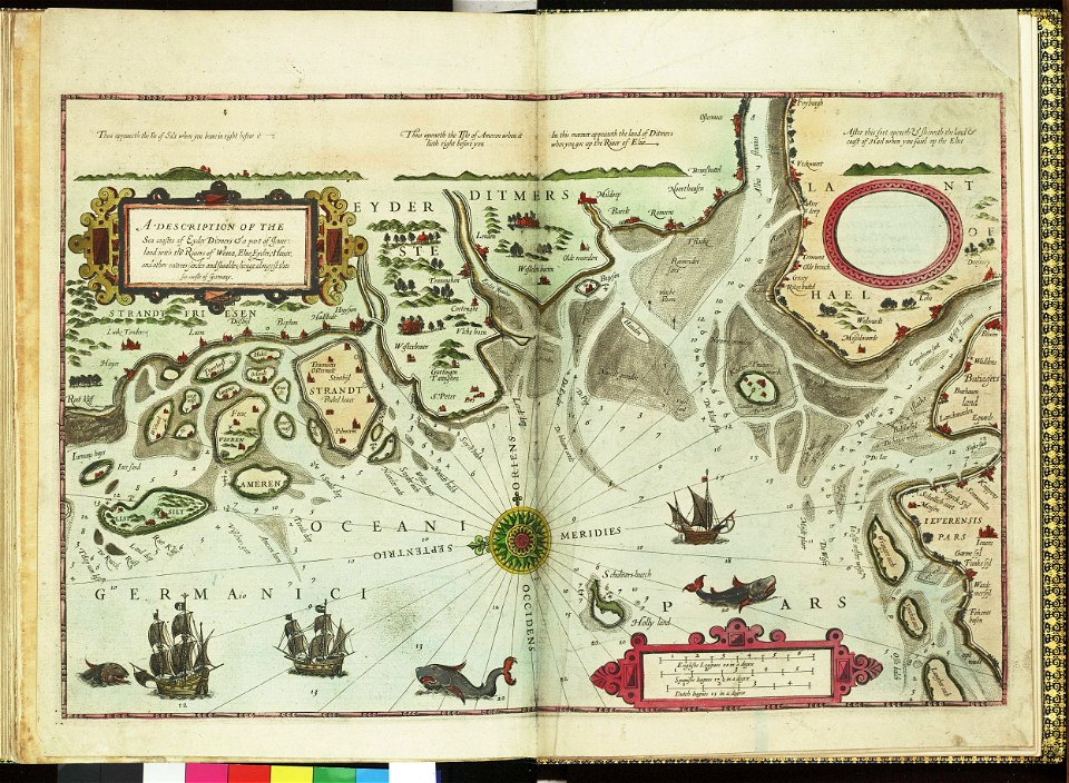
german bight
1588 maps
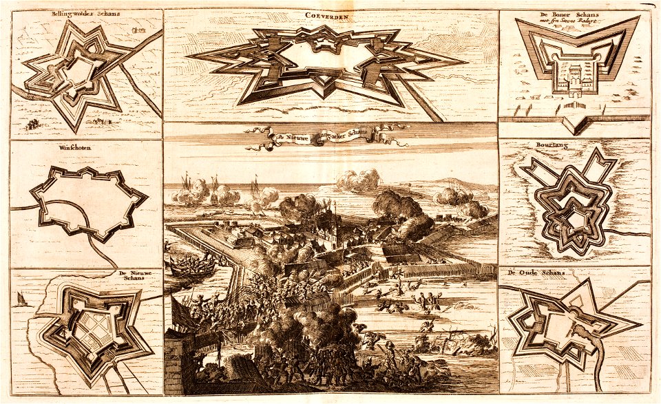
bad nieuweschans
coevorden
maps by samuel de champlain
old maps of new france
maps in the library of congress
ohio
maps in the library of congress
ohio
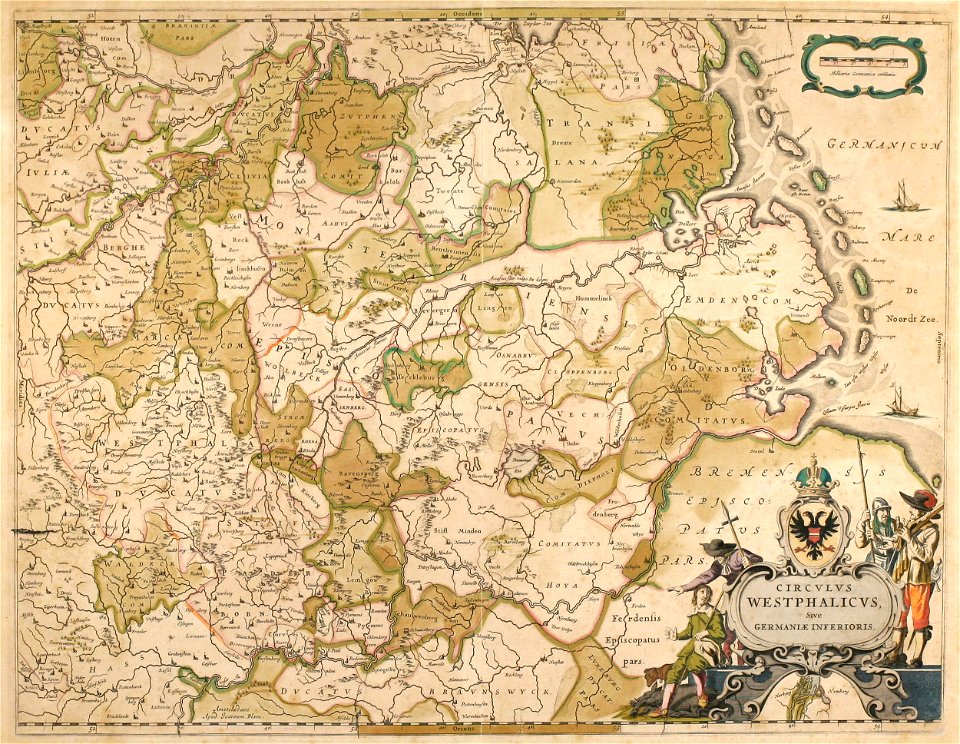
old maps of north rhine-westphalia
maps by willem and johannes blaeu
collections de la bibliothèque nationale et universitaire de strasbourg
german-language maps
english-language maps
1776 maps
illustrations of cosmographia (münster)
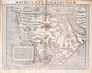
1550s maps of africa
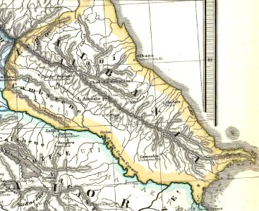
19th-century maps of the caucasus
1865 maps
united states geological survey maps
old maps of new york (state)
1901 - 2000 of 33,112
Next page
/ 332